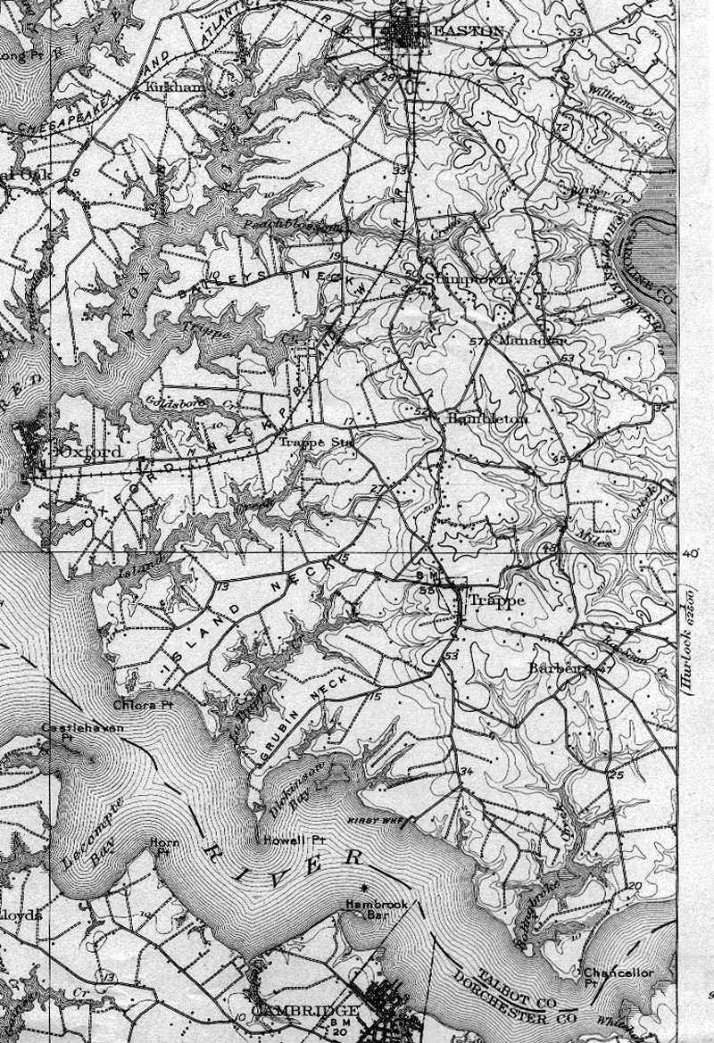
Detail from a 1912 USGS topographic map of the Trappe area. The steamboat
landings at Clora's Point and Kirby's Wharf are shown as is the road to the
old Cambridge ferry. This road would be modernized and straightened when the
first Choptank bridge was opened in 1935.
|