 |
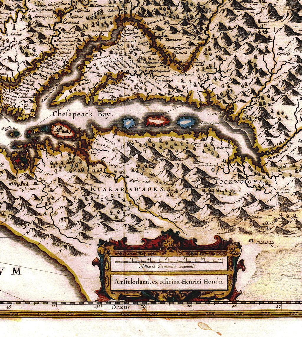
| Capt. John Smith's excellent map of Virginia and the Chesapeake Bay was soon copied by other mapmakers. This attractive 1633 version was done by Henricus Hondius in Amsterdam. The map is a very good copy, however the engraver got somewhat carried away and decorated the Eastern Shore with a mountain range. The original Smith map had correctly shown that there were no mountains here, only trees. For some decades, most derivatives of the Smith map showed mountains instead of trees for Delmarva. The title "Nova Virginiae Tabula" means "New Map of Virginia". Before Maryland existed, Virginia covered most of the mid-Atlantic area. |