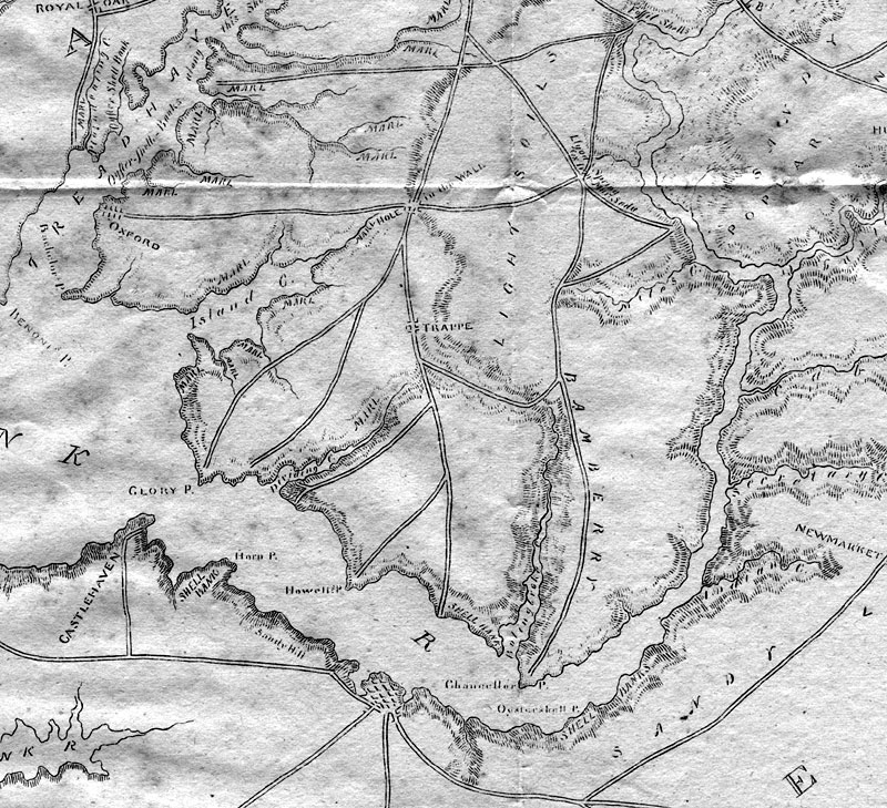
 The map has several errors: some of the roads shown are probably not correct. For instance Island Creek Neck road ran to Trappe which is not shown and Glory Pt. is certainly a mistake for Clora's Pt. Despite its many inaccuracies, this was the most detailed map done to date. The map also shows geological points of interest inc. deposits of marl and shells, marine deposits used to reduce acidity in soils. |